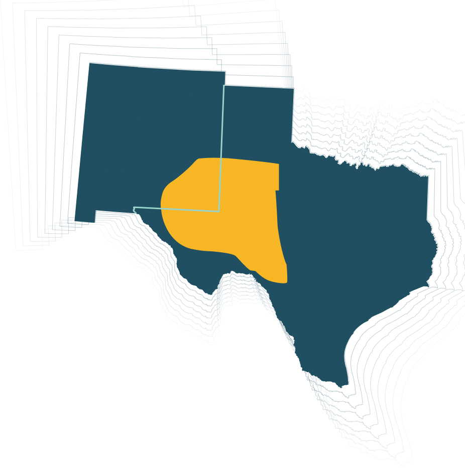
Permian Basin
Fairfield Geotechnologies exhibits undisputed leadership in Delaware's Permian Basin seismic exploration. Their Permian Basin data and map currently include high-quality 3D seismic data covering more than 6,000 square miles across Andrews, Culberson, Ector, Glasscock, Loving, Midland, Pecos, and Reeves Counties in Texas, as well as Eddy and Lea Counties in New Mexico.
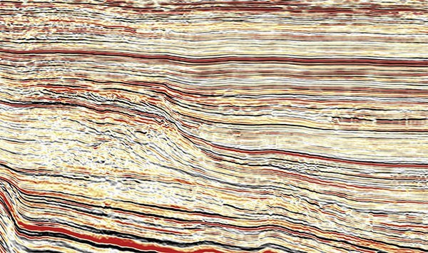
Better seismic means reduced risk. Accordingly, we have improved our surface-seismic acquisition parameters in the Permian with high-trace density (HTD) acquisition geometry: the C-Ranch / Mud City, Upton, Cedar Canyon, Sand Dunes, and State Line 3D surveys with over10 times the trace density of conventional U.S. 3D seismic, all which benefit from higher-order noise removal, imaging, subsequent reservoir characterization workflows, and in some cases full-waveform inversion (FWI).
Survey Coverage
across multiple counties
14X Higher
than conventional
U.S. 3D surveys