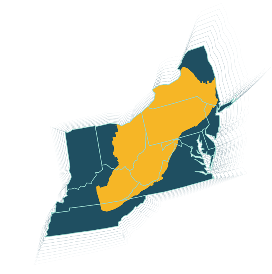
Appalachian Basin
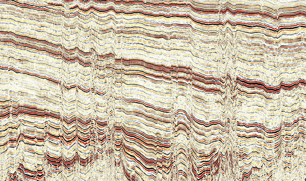
Our ever-expanding coverage in the Appalachian Basin has recently doubled to include former ION Geophysical U.S. assets including the Lakeview, Krause, Clearfield, Groundhog, Greensburg, and Allegheny 3D surveys This expansion now brings our portfolio to over 3,400 square miles of high-quality 3D seismic data across the Utica and Marcellus Shales, illustrated in our comprehensive Appalachian Basin map. Fairfield Geotechnologies’ leading position in Appalachia gas-plays provides survey covering Allegheny, Bradford, Green, Lycoming, Susquehanna, and Washington Counties, Pennsylvania and in part represents a partnership with Geophysical Pursuit Inc.
Our Appalachian Basin seismic focuses on overcoming challenges associated with rich culture, difficult topography, and numerous permitting obstacles. Each Appalachian Basin program successfully resolves these issues having benefited from superior program planning, enhanced imaging technologies, noise removal, and reservoir characterization compliant processing.
Survey Coverage
3D seismic coverage across the Appalachian Basin
6 Penn.
Allegheny, Bradford, Green, Lycoming, Susquehanna, and Washington