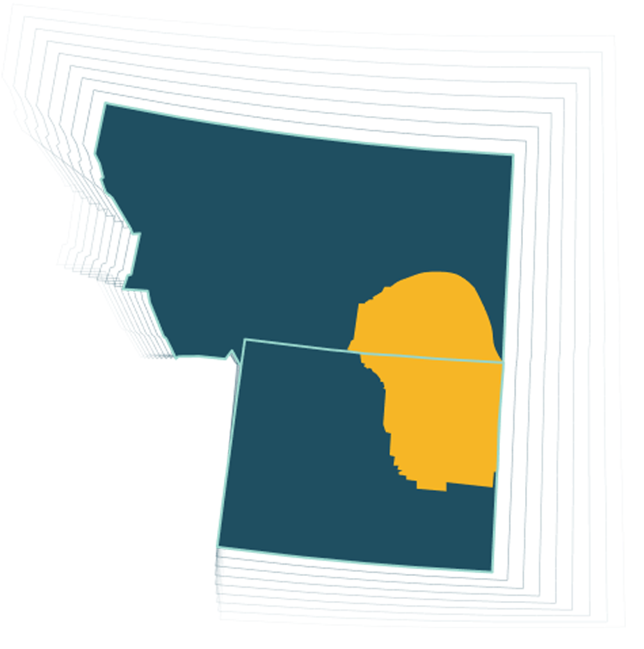
Powder River Basin
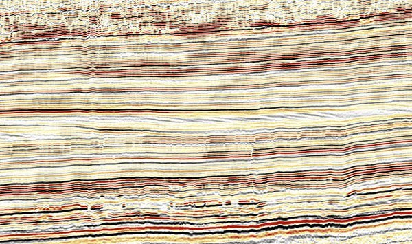
Better seismic data, better engineering, lower break-even prices. Spanning 840 square miles, Fairfield Geotechnologies’ high-quality 3D seismic data enriches the Wyoming Powder River Basin, particularly mapped across Converse County.
The Powder River Basin map and data focus on Pennsylvanian to Tertiary rocks, including the Lower Cretaceous Muddy Sandstone. Benefitting from modern enhancement, noise removal, imaging, and reservoir characterization technologies, these surveys enhance our understanding and exploration capabilities within the basin.
Survey Coverage
1,840+ SQMS
in Wyoming’s Powder River Basin
5 Geologic
Time Periods
Pennsylvanian through Tertiary, including the Lower Cretaceous Muddy Sandstone