Louisiana Salt Basin
Spanning over 700 square miles, Fairfield Geotechnologies’ Louisiana Salt Basin data currently includes high-quality seismic surveys in Avoyelles, Claiborne, Evangeline, Rapides, and Webster Parishes, Louisiana, as well as Columbia County, Arkansas. This effort highlights the significance of the Salt Basin and Tuscaloosa Marine Shale in regional exploration.
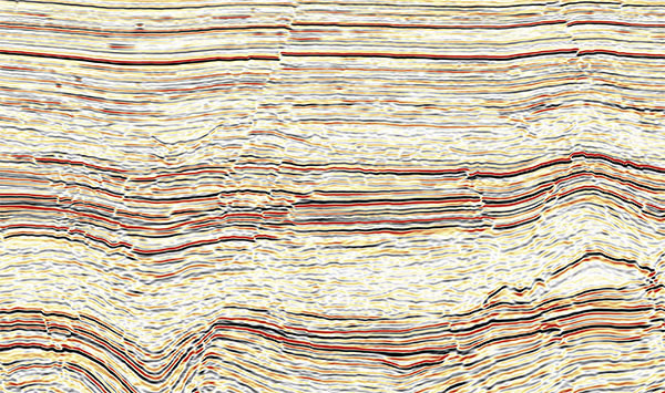
The Bayou Boeuf seismic survey is one of the largest 3D surveys in the Tuscaloosa Marine Shale. While focusing on the Austin Chalk, the program also provides detailed imagery for the Tuscaloosa, Frio, Wilcox, Sparta, and Cotton Valley formations and benefits from high-effort signal imaging, noise removal, and is QI compliant. This survey is in partnership with CGG and benefits from an orthorhombic pre-stack time migration (PSTM) which addresses azimuthal velocity variations. It enhances the characterization of fractured zones in the Louisiana Salt Basin and the broader scope of the Tuscaloosa Marine Shale.
Survey Coverage
across the Louisiana Salt Basin
6 Subsurface
Austin Chalk, Tuscaloosa, Frio, Wilcox, Sparta, and Cotton Valley