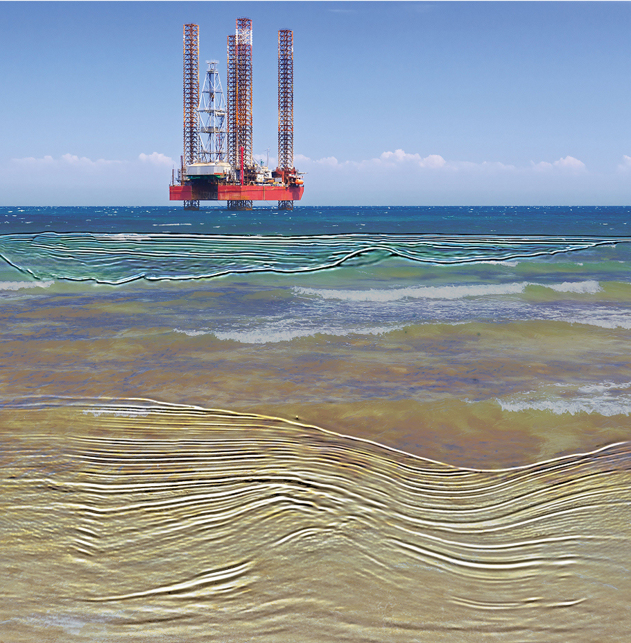
Seismic Data Clarity, Unprecedented Confidence
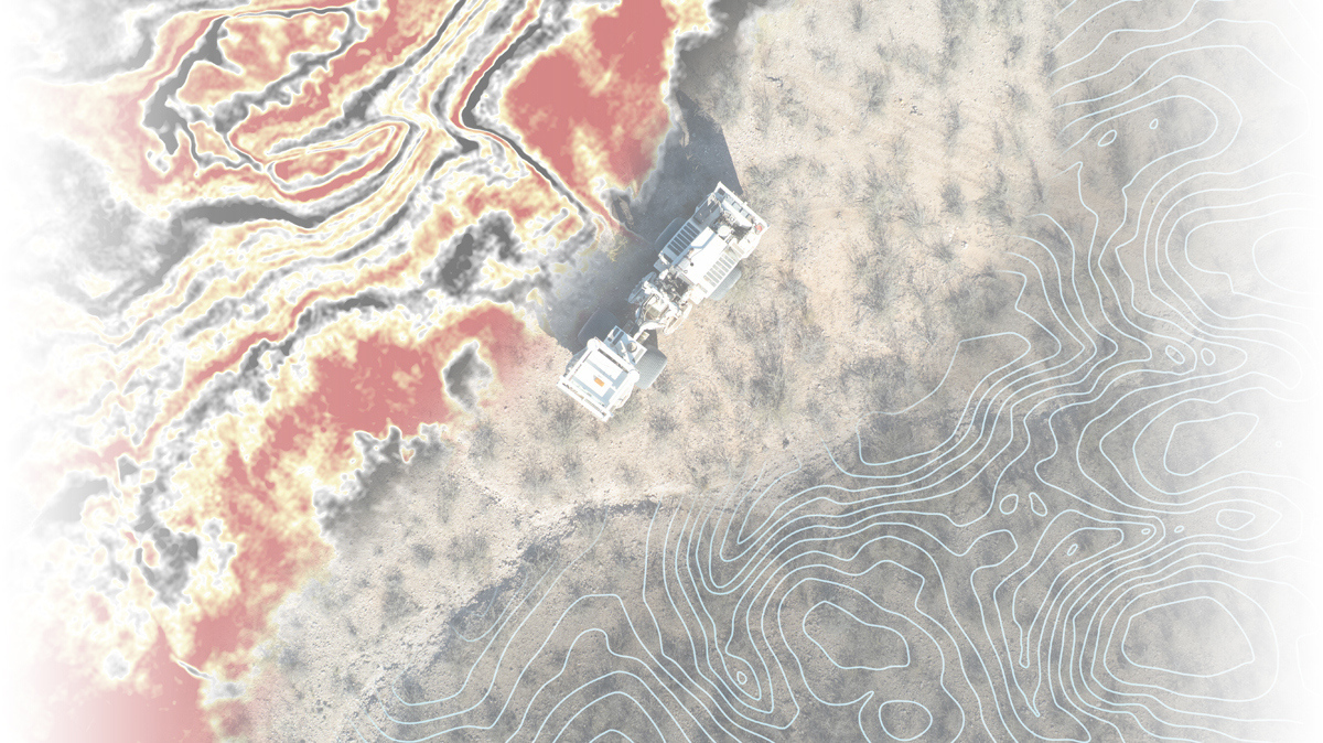
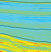
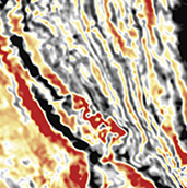
Privately held Fairfield Geotechnologies is a leading geophysical seismic survey company that provides 3D high-resolution multi-client seismic data and strike mapping services in the United States. Combining market-leading subsurface reflectivity and signal imaging techniques with strategic partnerships, Fairfield Geotechnologies delivers a superior seismic data solution for developmental exploitation.
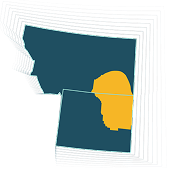
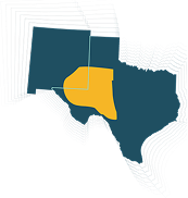
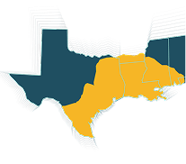
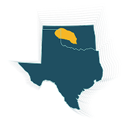
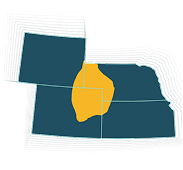
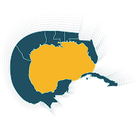
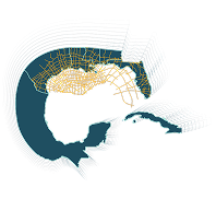
See Our Multi-Client Library