Midcontinent
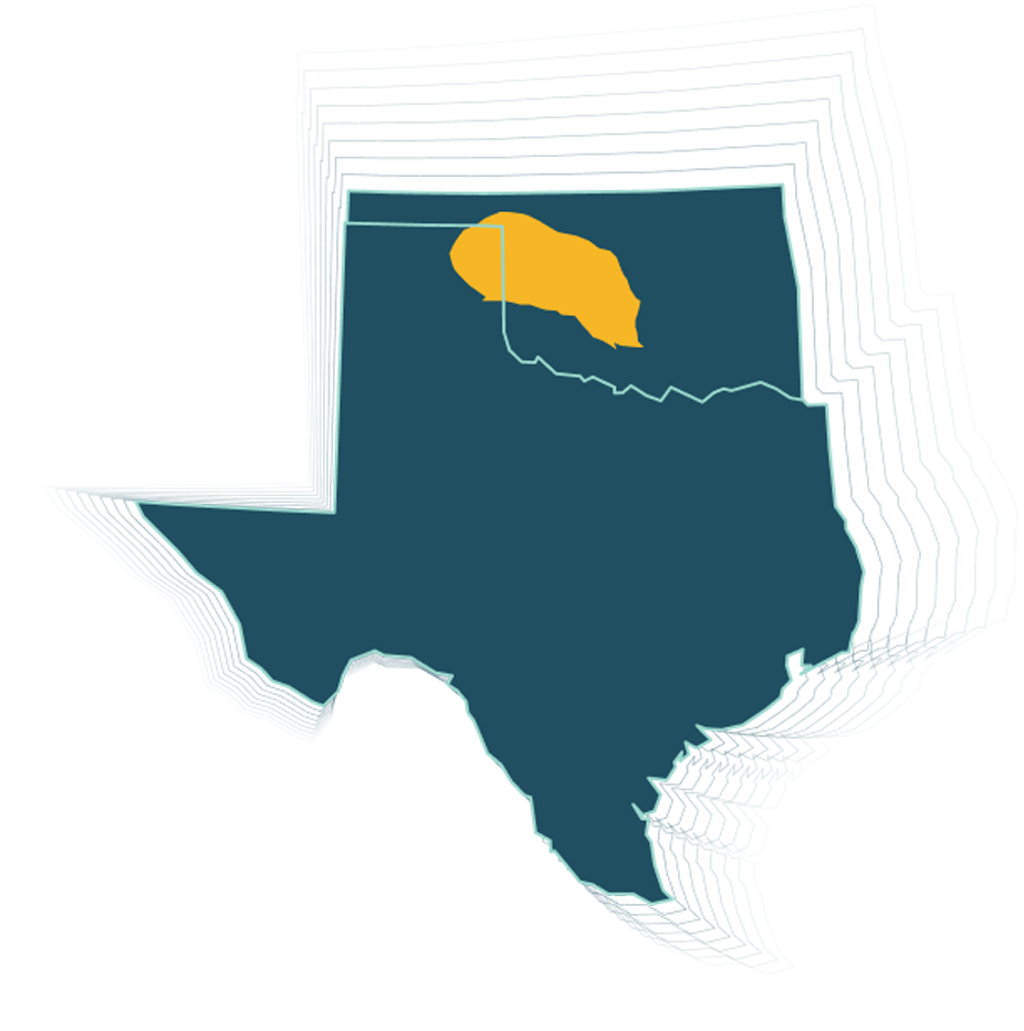
In Oklahoma, spanning 1,670 square miles, Fairfield Geotechnologies provides multi-client data and exclusive brokerage rights to proprietary high-quality 3D seismic data. This coverage includes the Cherokee Platform in Garfield, Logan, Noble, and Payne Counties, Oklahoma, and extends to owning and offering seismic data alongside that coverage and in the Ardmore Basin.
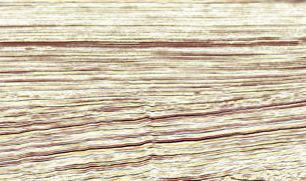
Technically challenging regions like the Oklahoma Anadarko Basin require advanced seismic data map solutions to locate oil and gas reserves. Accordingly, our Oklahoma 3D surveys focus on but are not limited to the Simpson Group, the Woodford Shale (including the stratigraphically equivalent Chattanooga Shale), coal mudstones in the Marmaton and Cherokee Groups, and Upper Pennsylvanian marine shales and benefit from recent reprocessing, noise removal, and imaging, maintaining reservoir characterization suitability.
Survey Coverage
across Oklahoma
6 Target
Simpson Group, Woodford Shale, Chattanooga Shale, Marmaton, Cherokee, and Upper Pennsylvanian marine shales